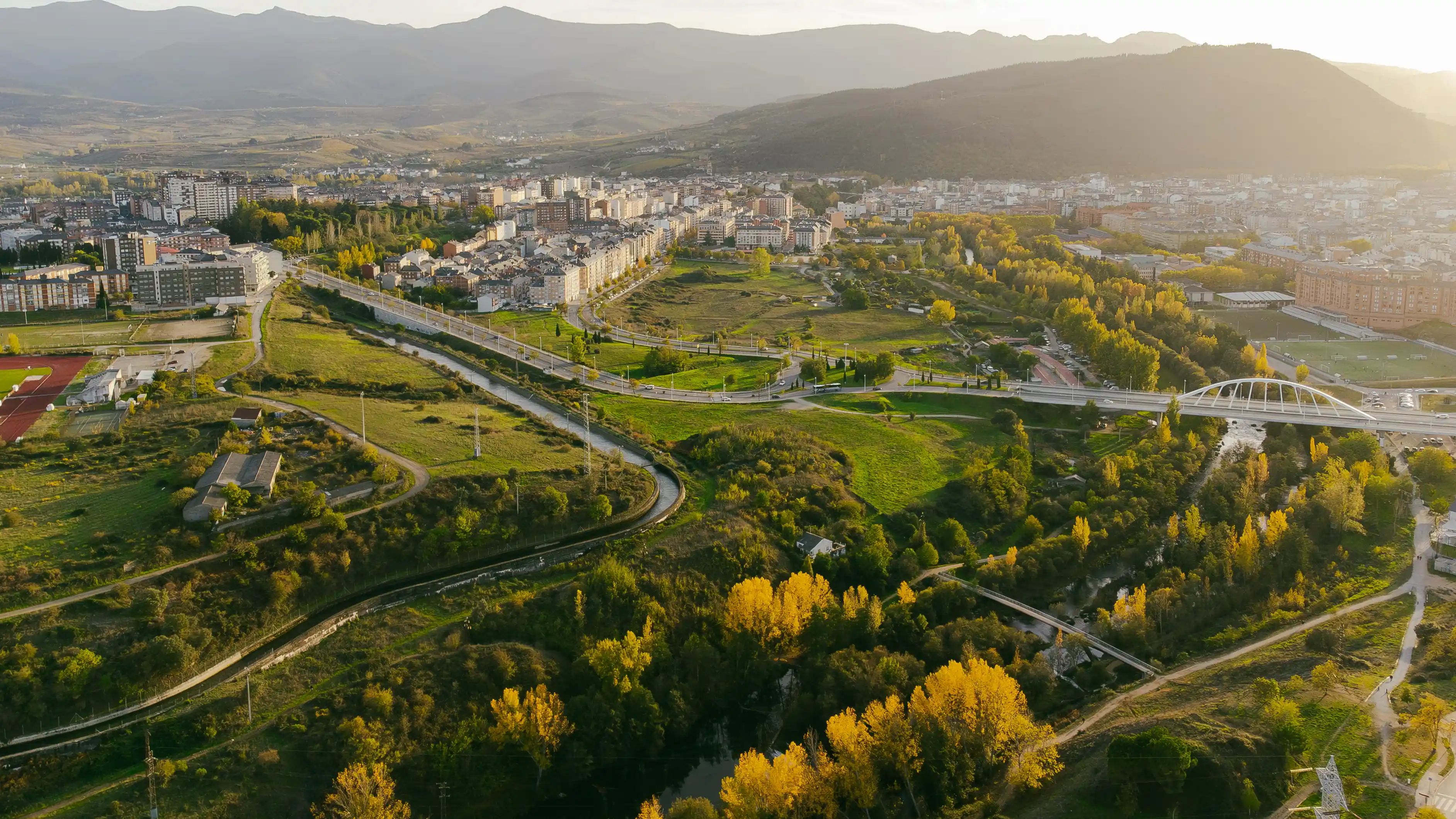
Green Ring Route
The Green Ring offers nature and sports around Ponferrada, connecting river parks, industrial heritage, and urban views along accessible routes. The project includes several defined sections:
- Section 1 (Sil Riverbank): from the Centenario Bridge to the Bárcena reservoir (approx. 4.2 km).
- Section 2 (Boeza Riverbank): from Boeza Bridge to Montearenas reservoir (approx. 9.1 km).
- Section 3 (Sil and Boeza Connection): from Boeza Bridge to Temple Park (approx. 1.8 km).
INFORMATION
📍 Location and contact
The Green Ring of Ponferrada is a network of routes, so it does not have a single coordinate point. You can access it from multiple places around the city.
- Municipality of Ponferrada
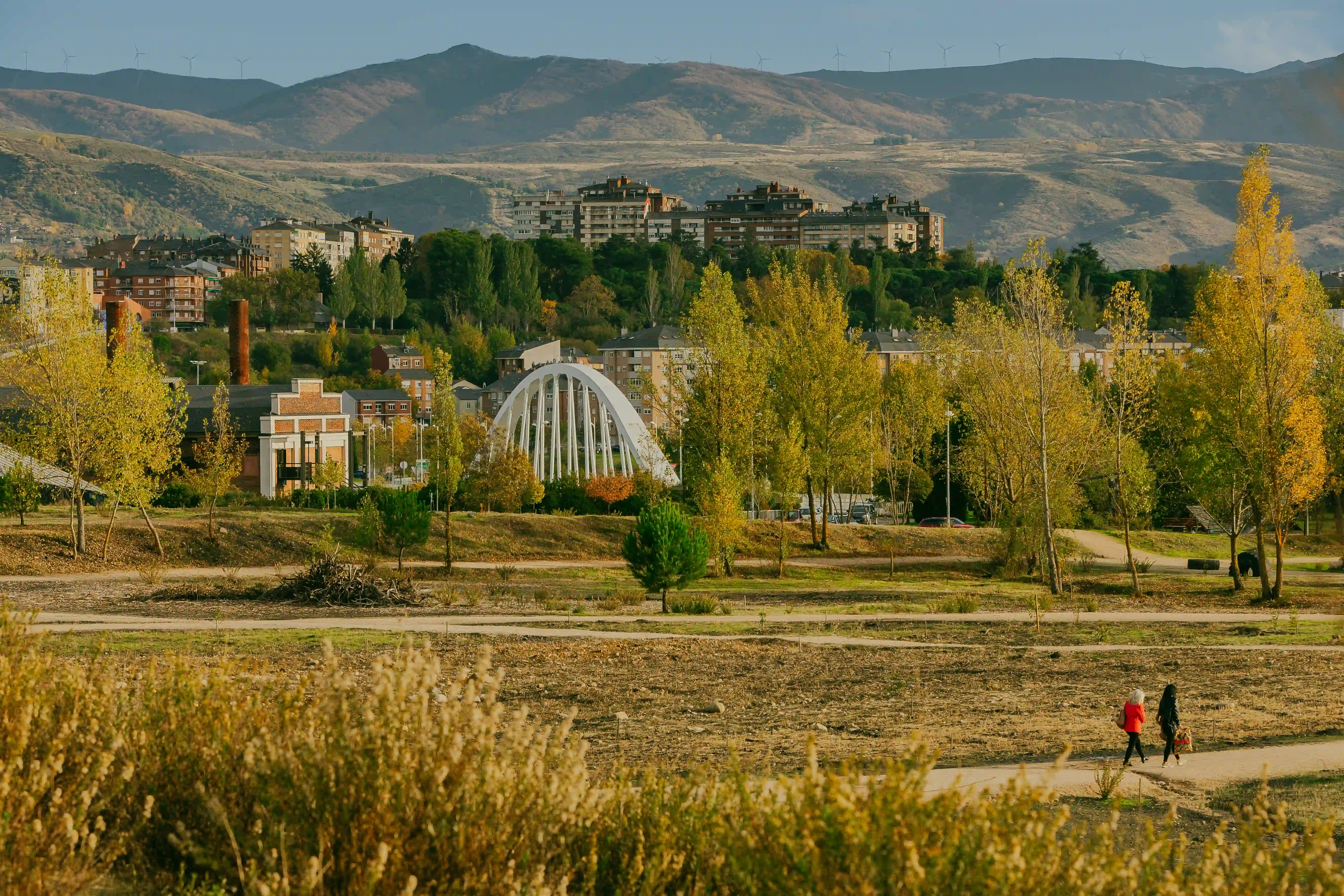
- Centenario Bridge (start of Section 1 – Sil Riverbank)
- Boeza Bridge (start of Section 2 – Boeza Riverbank and Section 3 – Sil/Boeza Connection)
- Temple Park (end of Section 3)
- Web: https://anilloverde.ponferrada.org/
- Phone: +34 987 42 42 36 (Ponferrada Tourist Office: General tourist information about the routes.)
- Email: turismo@ponferrada.org
- Social Media:
- Instagram: @avponferrada
- Facebook: Anillo Verde de Ponferrada
- X (formerly Twitter): @AVPonferrada
- Official website (with links to social media): anilloverde.ponferrada.org
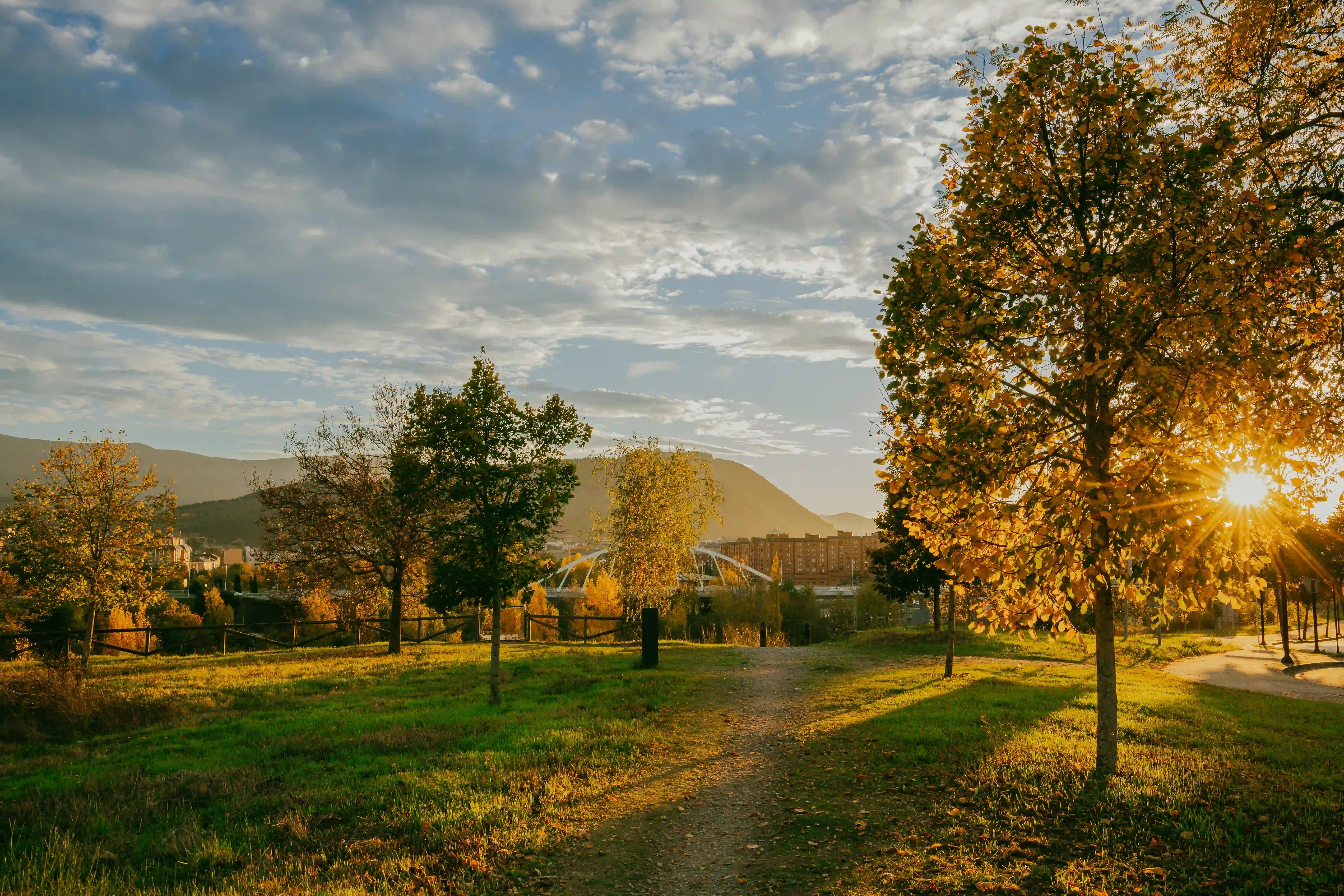
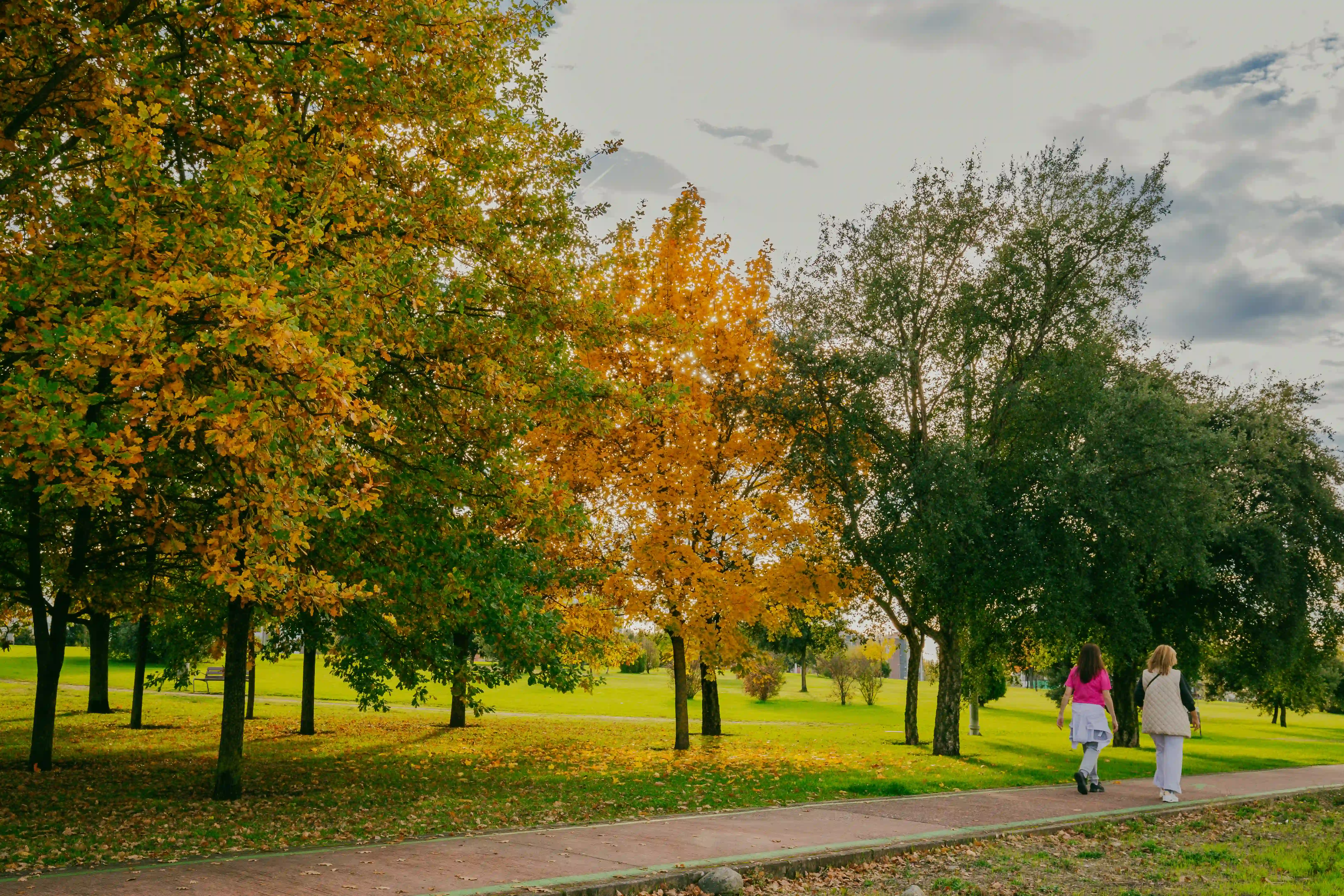
♿ Accessibility: The Green Ring of Ponferrada is largely designed to be accessible, though accessibility may vary depending on the specific section.
- The overall project is designed to be fully pedestrian and almost entirely cyclable, aiming to promote sustainable mobility and integrate nature into the urban environment.
- Development works include accessible ramps and pedestrian and cycling paths, indicating a focus on universal accessibility.
- Many sections run through existing urban parks (such as Temple Park or La Rosaleda) or along riverbanks, which usually have paved or compacted dirt paths suitable for people with reduced mobility or wheelchair users.
- However, since it is a project that connects urban areas with peri-urban zones and regenerated former mining lands, some connection points or detours to more natural areas may have uneven terrain or obstacles.